NWA partners with Waze to provide real-time traffic updates, roadworks information
Loading article...
-
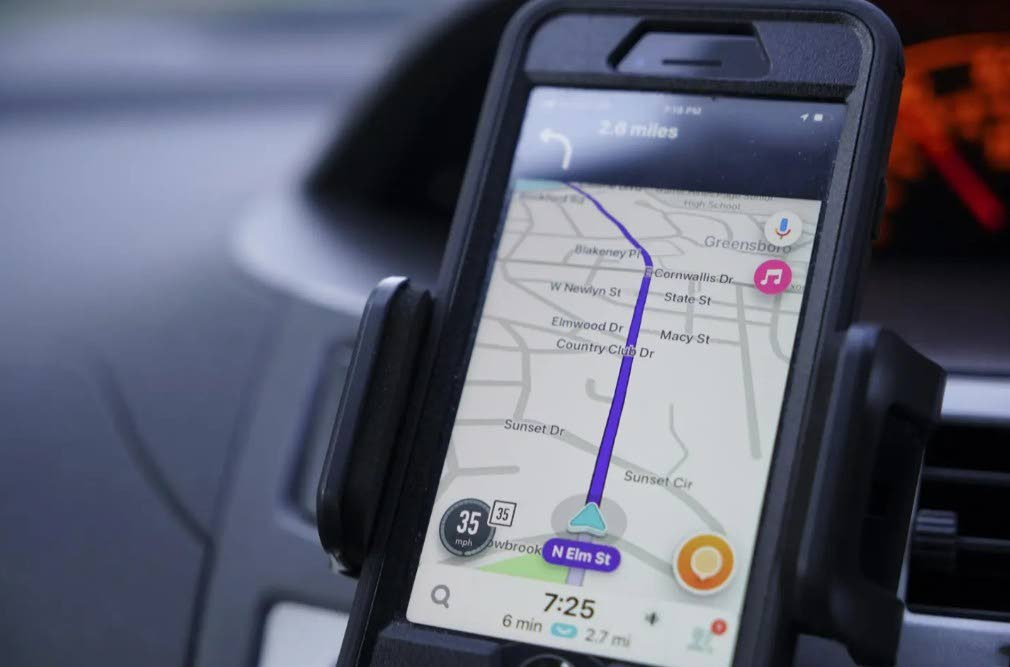 Photo - AP
-
Photo - AP
-
 Manager, Communication and Customer Services at the National Works Agency, Stephen Shaw.
Jamaican motorists can now bypass traffic nightmares using real-time government data, following a landmark partnership between the National Works Agency (NWA) and global navigation giant Waze.
The NWA announced the partnership on its social media platform X on Monday.
Waze is a free, crowd-sourced GPS navigation app for smartphones and car displays that provides real-time driving directions, live traffic updates, and community-reported road hazards.
The Google-owned app works by combining GPS data from individual phones with real-time information submitted by other drivers.
Among the events that motorists can access via Waze are planned road closures and detours, active construction zones and work disruptions, real-time traffic rerouting, and accidents, hazards, and changing road conditions.
Speaking with The Gleaner, NWA Manager of Communication and Customer Services Stephen Shaw said the agency saw Waze as having the desired authenticity to ensure road users receive reliable information.
“Information that is verified, that is legitimate, to do with things like roadworks, events that are planned and would have been routed through the NWA, anything that is likely to cause an impact on persons' travels, we intend on having placed in the public space in a way that is verifiable,” Shaw outlined.
Noting the issue of misinformation, Shaw said it is important for the public to have accurate information.
“Because misinformation goes around from time to time… us partnering with Waze, it adds a certain amount of legitimacy, or it certainly gives legitimacy generally to the information that is being placed there.”
He noted that the initiative is designed to directly enhance the daily commute for local road users:
“What it will do is assist persons with, certainly with more information that to use, to plan their trips. You have a little bit more certainty in relation to going from point A to point B. Because if you know that there is an impediment, say, on Half-Way Tree Road, and your journey is downtown, and you're coming from, say, Manor Park, you can have the opportunity to plan your route, because that information is there and it's not a situation where you just have to come upon the [road]work taking place, for example. So it is very important for persons in respect of their time, and time is money,” Shaw told The Gleaner.
- Karen Madden
Follow The Gleaner on X, formerly Twitter, and Instagram @JamaicaGleaner and on Facebook @GleanerJamaica. Send us a message on WhatsApp at 1-876-499-0169 or email us at onlinefeedback@gleanerjm.com or editors@gleanerjm.com.